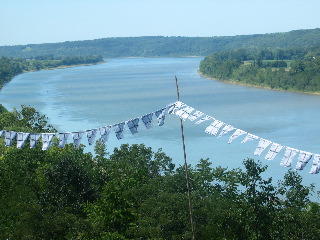
3-day weekends are rare. Even more rare is a 3-day weekend where I'm actually around to do something. This Labor day, while Beck went back home to visit friends, folks, and farms, I went climbing with Sean out in the Mt. Jefferson Wilderness. The plan was hatched early on in the week to go climbing. And, at about 5:00 PM on Friday, we finally decided where to go. Mt. Jefferson. Beers and steak all around.
So a little history on Mt. Jefferson. It's the oldest mountain in the cascades, (a little foreshadowing) it tops out at 10, 497ft, and it has been described as the hardest of the Oregon cascades to summit. So our plan was to see how close we could get, and summiting was a goal, but realizing that the crux of the climb entailed a steep traverse at around 10,000ft, we decided that if we got close to the top, we'd be happy.
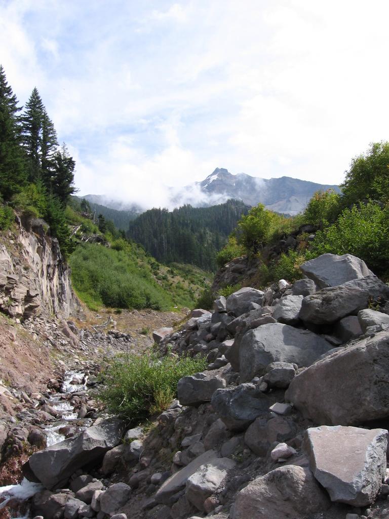
Up and out the door at around 6:15. The road into Jefferson is beautiful, with old growth all around, and nice little towns along the way. A quick stop in at the ranger station gives us the bad news that all permits to enter the Pamelia lake trailhead are gone, and we can't park and/or even hike there. Limited entry point. So we decide on Woodpecker Ridge, which adds about a mile to our hike. Hike in was pretty nice. Good mix of uphill and downhill, and a beautiful day to be outside. We get to Milk Creek on the PCT and are told by some dudes washing in the river that the way up the mountain is just along the left bank. We take their advice....I don't know why.

The Jefferson topo map we bought showed the trail directly in the creek. Now, I don't know if that was the actual trail or not, but if it is, ho boy is that ridiculous. The river is basically a bed of debris, and steep slopes on either side make traversing alongside it a real challenge. We have to scale a few waterfalls, (utilizing our new buddy system of skills...namely, "give me a boost and I'll get the pack up") and use our trusty ice axe, (more words of endearment on equipment later) and finally make it up to the glacier...or what we think is the glacier.

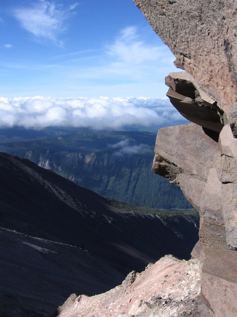
Since snow this time of the year is rare, most of the glacier has receded way up to about 8,500ft, and only some leftover melting snow and ice is left for us to walk on. Crevasses are all abundant, but the potential fall is only a few feet to the rocks below so we're not too worried (not like falling into a bergschrund and not knowing where it ends). The rest of the trek is along the loosest rock ever. I really don't know how this mountain is still standing. Every step knocks down debris and the traverses, (god help you if you have to traverse as much as we did) are steep, loose, and annoyingly long. Nonetheless, it's beautiful out and we're doing fine on time.
Around 6:00 we end up making camp at about 8,000ft on a beautiful bluf and take in the views in between passing clouds. It's pretty cool to watch the clouds come into the valley below us and then receded again.

We fool around with the cameras, make some Tasty Bites, (a product you should buy stock in for sure if you're a backpacker) and settle in around 11:00. Sean spots some hikers descending on the next ridge at around 10:30 which is freaking late to be descending, especially this loose piece of rock. We flash a headlamp in case they're in trouble to know there is help nearby. Of course by help I mean, we have some tasty bites and bandaids we could lend them at most. Don't know what exactly we could have done if they were in bad shape, but figured it's comforting to know you're not alone.
Speaking of not alone, luckily no goats buzzed our tent this time, although wind and rocks up at that elevation make sleeping a bit unnerving. At one point you could hear a huge gust of wind coming and we quickly opened up all the doors to try to keep our tent from becoming a kite. Good times.
The next morning is beautiful and we start our hike up to see what is the highest point we can get to. The summit is not possible by this time, so we get as high as we can, (around 9,000 ft) and eat some lunch...all the while swatting bees (alpine bees?).

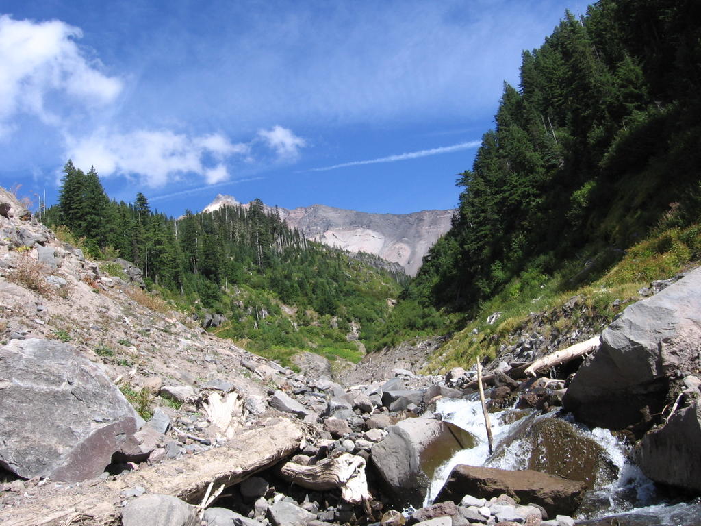
Getting back is a lesson in bushwhacking, and after deciding to take a different ridge line back down, we stumble on a trail that looks like it COULD be the milk creek trail we thought we were on coming up. It's to the left of the creek (if you're heading up) and it follows a dry creek bed and is much easier for navigating. Getting to the end is a sweet sight and the water feels so good.

As we get out we see a trail marker right at the point where we met those dudes the day before. Lesson learned. Should have asked them more about the trail because I'm sure the conversation would have gone something like,
Dude: This is the trail to the summit right through here.
Me: Really? How is it? Doable without crampons and such?
Dude: Uh, well I don't really know becuase I haven't acutally gone up but I was....
Me: Uh thanks. How about I look at the map and see if you're even close.... ok, and you're not.
All in all a great weekend and a real good experience even though we didn't make the summit. My ice axe has become the best purchase I've made so far. There were many occasions on this trip where I couldn't have gone a step further without it. Well worth the money. I hope I can say the same when I finally drop the big bucks on tele boots.
Check out more pics here:
http://www.flickr.com/photos/96718142@N00/sets/897413/
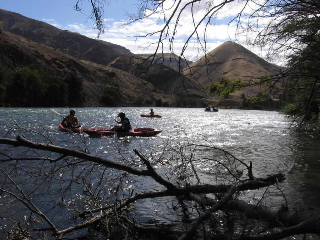
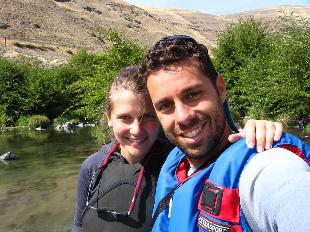 So American Rivers has their annual river trip which Rebecca gets invited on, (cause she rocks) and thusly, so do I. Which is very lucky for me, as these river trips not only are stacked with cool people who know a ton about the river, surrounding environment and proper paddling behavior, but also they pack a fantastic array of meals each and every day.